Hiking ideas for Spring 2026, US (ongoing draft)
# Summary
Come mid April I’ll be heading back to the US after winter spent in Ecuador and Peru. I’ve got a couple of weeks gap between arriving and first appointment so I’m planning to get together with my old mate Glenn for some backpacking. We first met in Wanaka, New Zealand in 2008. He was gearing up for an assault on Mt Aspiring at the time. Then a few years later, I was handing out comedy fliers outside a club on Cow Gate in Edinburgh and Glenn appeared from the shadows. We subsequently hiked the Alte Via 4 in the Dolomites together in 2013 and have caught up a few times since – most recently in his new hometown of Reno.
Come April, I’ll be back in San Diego County. I don’t mind a bit of snow travel, but I don’t want to live in the stuff, so that’s the Sierra out and much of the high country in California.
I’ve suggested the Lost Coast Trail. I love coastal hiking and the Pacific coast of the US can be epic. I hiked the length of the Oregon Coast in 2023.
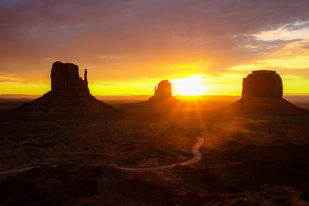
Glenn’s thrown Utah’s southern parks into the mix, so it’s time for some research.
The Lost Coast Trail
- Hard-sided bear canister required in King Range Wilderness (check how far this section is)
- Need to keep tide times in mind
- 53 miles (plus getting to and from trailheads and potential return trip if it makes sense)
Logistics
Tide tables available (N section) from BLM ranger station on way to Shelter Cove or BLM office in Arcata. Or NOAA.
Shuttles to Mattole are ~$100 (https://lostcoastadventures.com/book-now/). Looks like northern section only.
Bear cans available to rent from BLM Project Office in Whitethorn for $5.
Looks like northern section (Kings Range Wilderness) requires advance permits while southern section is self-issued walk up (remember some cash!).
Swami says ticks are an issue. Try and treat trousers in advance.
Getting to Usal Campground (S terminus)
- 6 miles on Usal Road (Mendocino Country Road 431, 13 miles north of Westport) from junction with Highway 1. Road is currently closed to vehicles but if we can hitch to the junction, it’s going to be a 2 hour hike in to Usal Beach campground to start the trail.
Getting to (N terminus)
Useful reads
- https://www.summitpost.org/lost-coast-wilderness-and-kings-range/154421
- https://www.lilymtang.com/blog/guide-to-the-lost-coast-trail (great info on tides & suggested itineraries)
Toiyabe Crest Trail
From https://www.halfwayanywhere.com/trails/toiyabe-crest-trail/toiyabe-crest-trail-backpacking-guide/
April warms to average highs of 60°F (16°C) and lows of 31°F, receiving approximately 1.06 inches (2.7 cm) of moisture. By May, temperatures have reached more pleasant levels, with highs around 70°F (21°C) and lows near 38°F (3°C), and precipitation averages 1.24 inches (3 cm).
Snow likely present until early June.
Zion Traverse
Permits: https://www.nps.gov/zion/planyourvisit/backpackinginfo.htm


Leave a Reply
Want to join the discussion?Feel free to contribute!